New Images Show Parts of Pluto Act Like A Lava Lamp
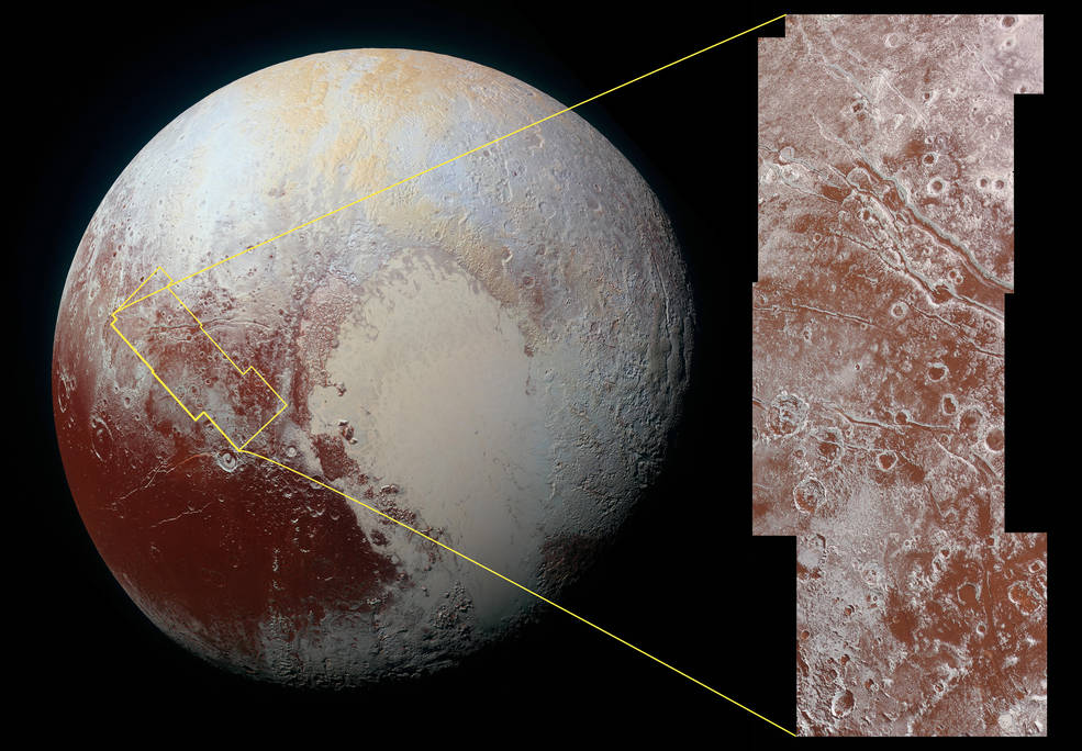
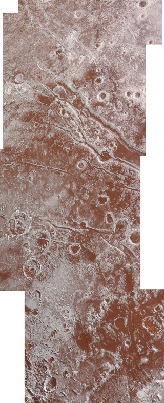
X Marks The Spot
For the original press release, read here.
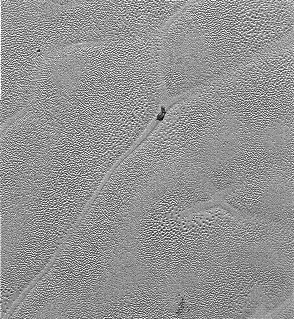
Pluto’s Icy Plains
For the original press release, read here.
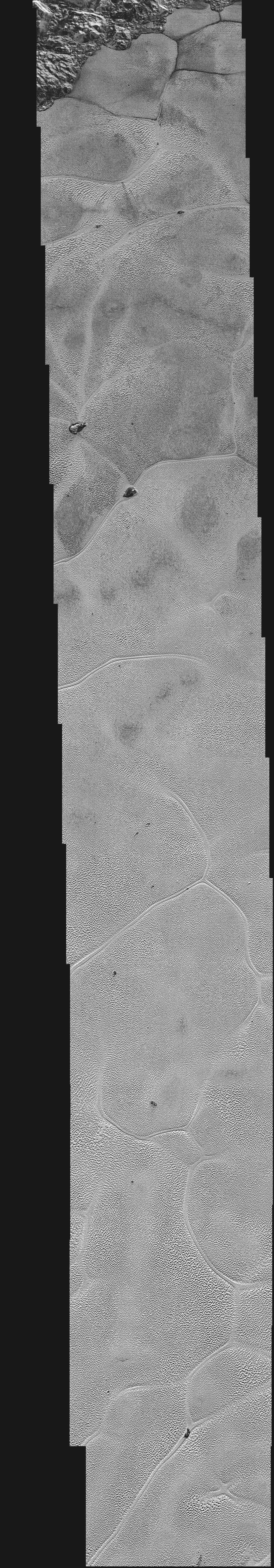
Particles ‘Go with the Flow’ on Pluto’s Surface
For the original press release, read here.